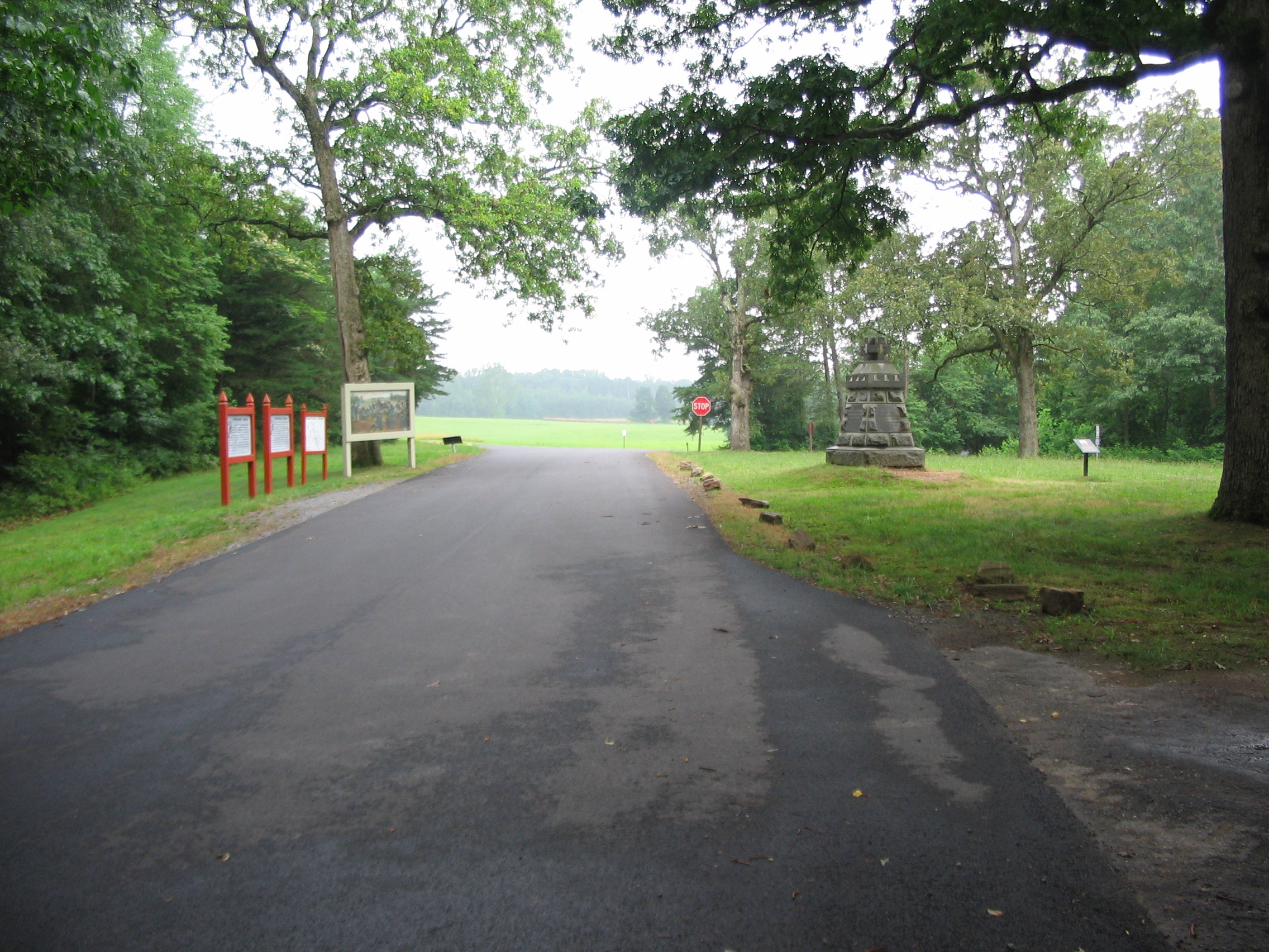
Most visitors to Spotsylvania Court House enter the battlefield via the suggested tour route off Brock Road. At the turn onto Grant Drive, several public displays—interpretive and memorial—greet the visitor. In the photo here, taken in 2008, three distinct “generations” of displays appear at the intersection. These “generations” have appealed to the differing needs of audiences over the years. Just as the content of public interpretive displays evolves, so does the presentation.
The oldest marker at the Spotsylvania corner is a memorial to General John Sedgwick, placed by the veterans of his Sixth Corps in 1887. Many of the early visitors were veterans of the war. So form followed function – the most important purpose was to designate the spot where the general fell. Later visitors, far removed from the war generation, required more background to understand the event. Therefore, in the 1950s, a series of cast aluminum panels, crafted by park historian Ralph Happel, oriented visitors on the Fredericksburg-Spotsylvania battlefields, using large font text easily read from a parked car. By the 1970s and 80s, the trend shifted to content over convenience. Visitors had to get out of their cars to read a low profile marker, and view a photo of the General. Eventually all, save the memorial, are slated for replacement (if they have not already) by multi-color wayside-type markers featuring illustrations and detailed maps.
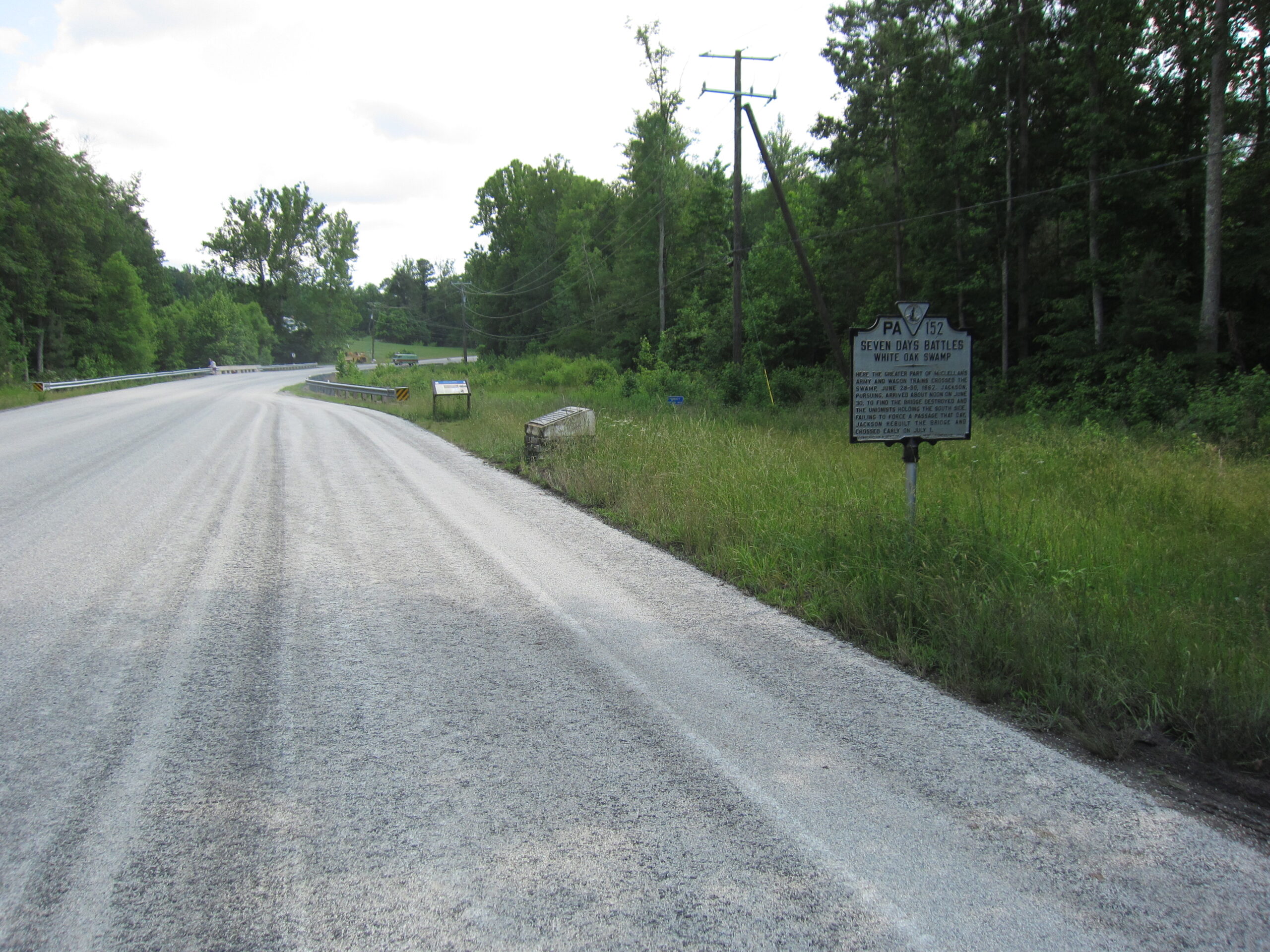
And don’t think that the National Parks are the only ones to experience such evolutions. A pull-off at White Oak Swamp outside Richmond also features markers from three different series. A Virginia state marker, easily read from passing cars, dates to the 1930s. Just beyond is an older marker which is part of historian Douglas Freeman’s Battlefield Markers (with a rich history all their own). The newest, a product of the 21st century, is a fully illustrated Civil War Trails marker, that entices visitors to step out of their cars to discover the significance of the bridge site in the background (and even consider that General Jackson might have made some mistakes!).
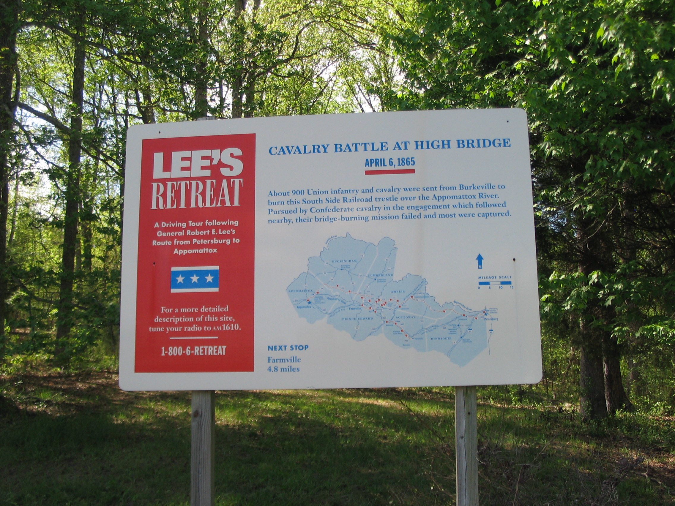
The Civil War Trails series are a fine example of the late 20th and early 21st century trends. However, their origins trace back to the older “stay in the car” presentation formats. The Trails program sprang from a series of wayside stops designed to interpret Lee’s Retreat to Appomattox—like this marker situated outside Farmville, Virginia. These large “billboard” markers include short-wave radio broadcasts for additional information.
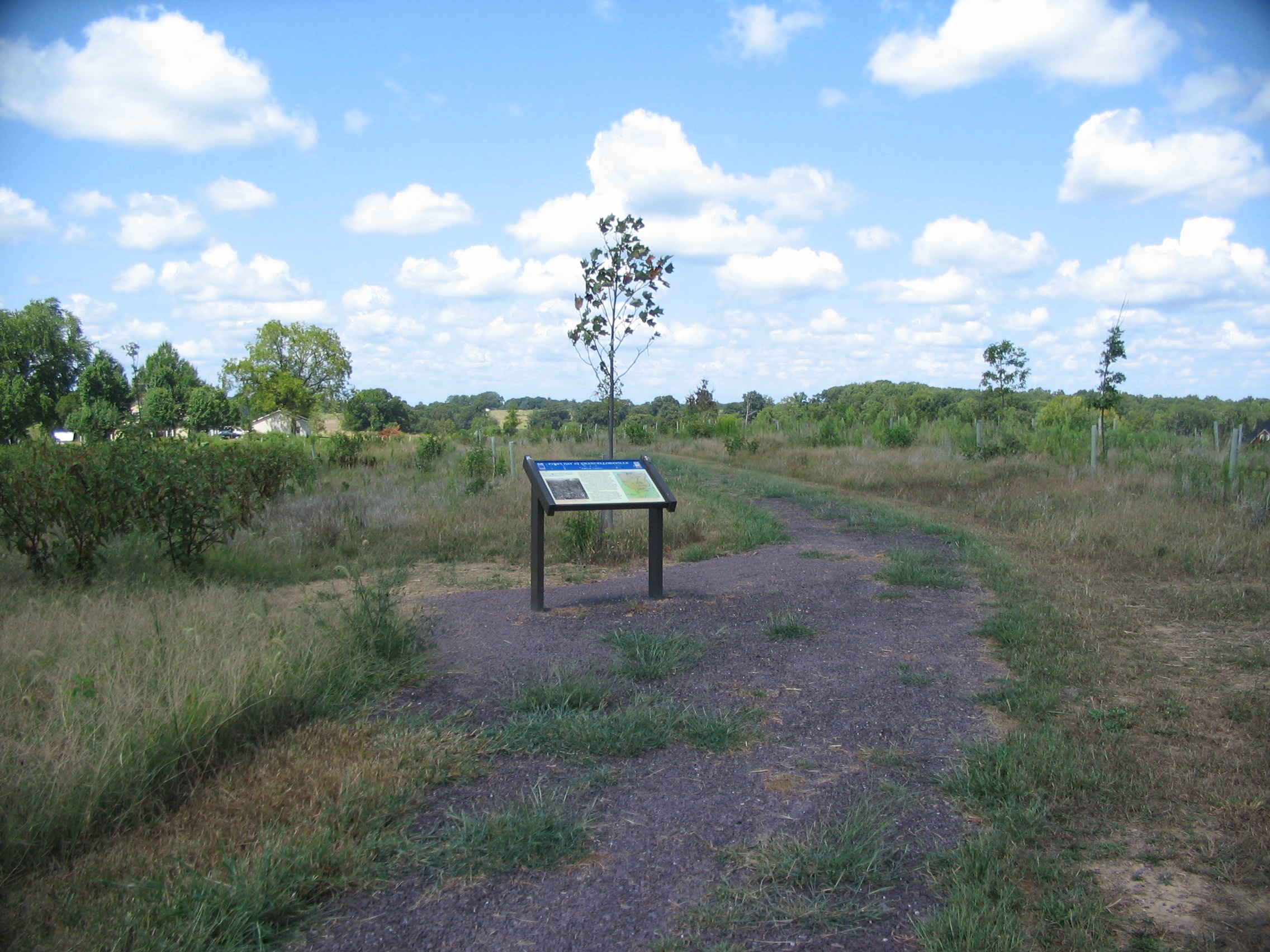
Notably, the wording of the Civil War Trails markers, along with that of other contemporary markers, invites visitors to consider an important physical component—such as a house, earthwork, or bridge—that factored into wartime events. Furthermore, these markers entice readers to venture away from the roadside and experience more of the actual site on foot. Often there are more markers along those trails, such as this one located on the recently preserved Chancellorsville First Day battlefield.
Does this all mean that we have “matured” as an audience, and now look beyond the story-line, legend, and lore? Are we now looking for some real link to the past, where those threads are now scarce and sacred? Or, is it simply that we prefer a bit more open air than our recent ancestors?
One thing is for sure, current trends are challenging the physical markers needed for historic sites. In the age of the smart phone, the metal markers may someday go the way of the Sinclair dinosaur. With the flexibility of software application presentations, one may wonder how the presentation might be tailored for specific audiences?
Craig Swain is a consultant from Virginia but is a native Missourian. His background includes a degree in history and service in the Army. Craig’s focus is the study of Civil War Artillery, which you can read about on his blog—To the Sound of the Guns.
Image Credits: Author’s personal collection.
